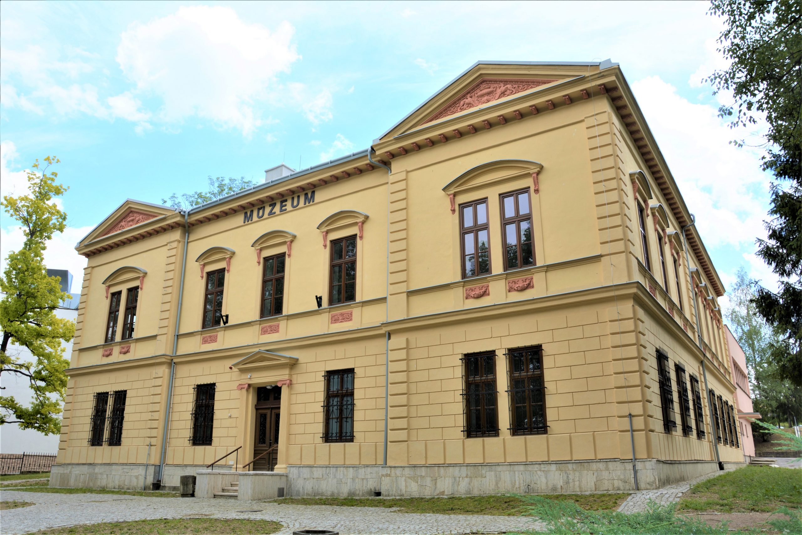
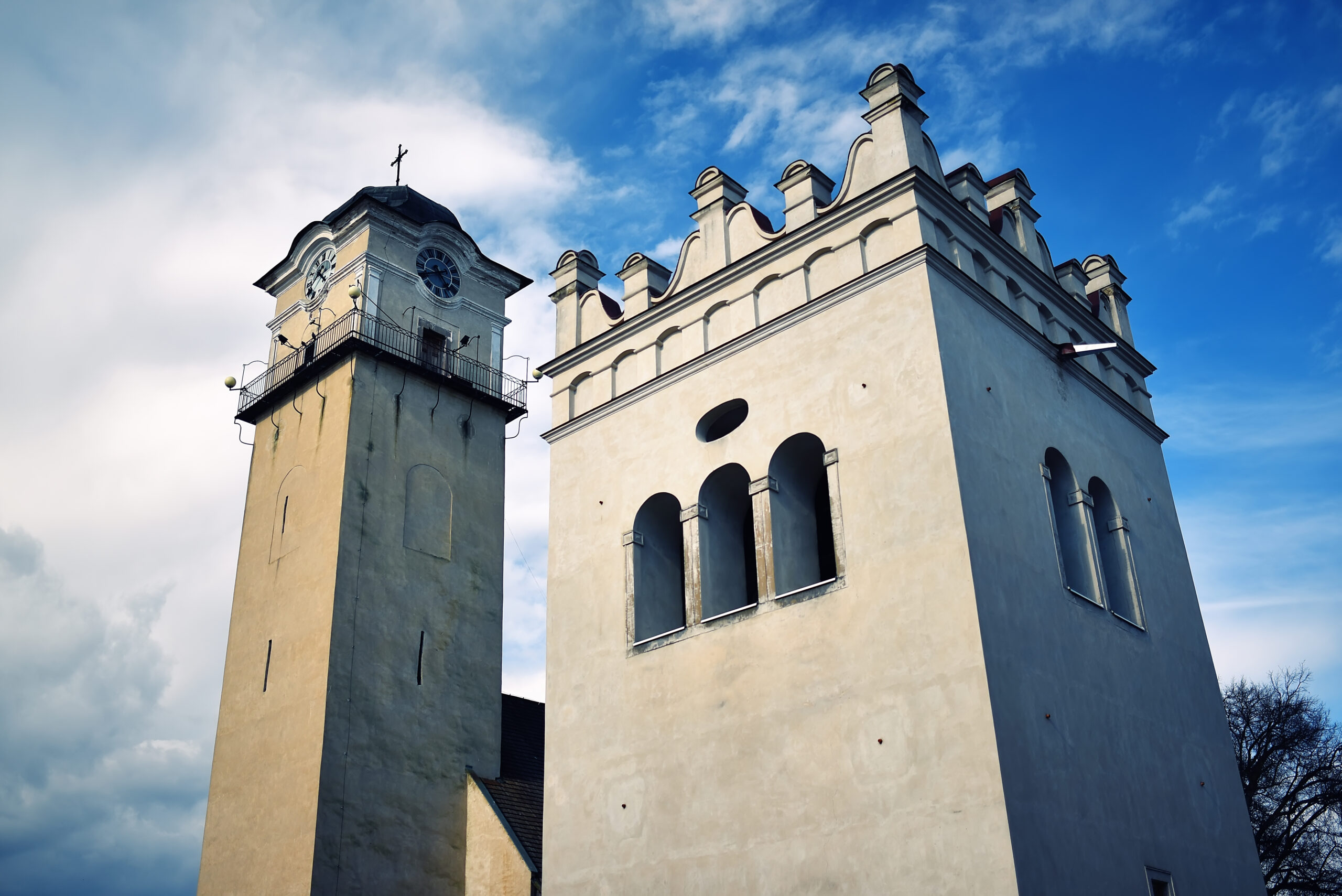
About the town
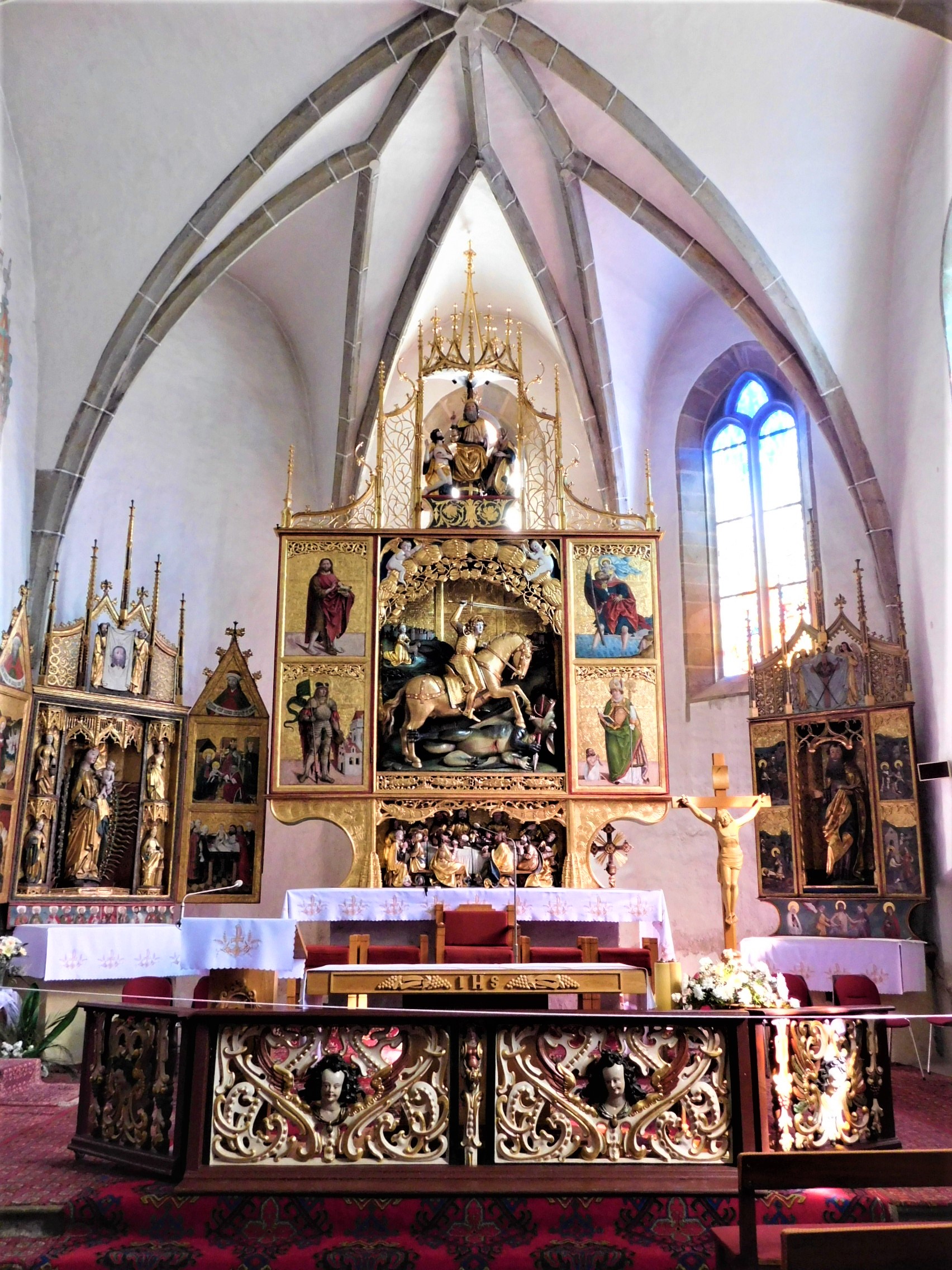
The Poprad’s history as a town started in ancient times. Actually, life has not stopped in this area ever since. Working tools, ceramics, weapons – all of these testify of the fact that the Poprad area and its vicinity were engaged in busy business activities throughout millenia.
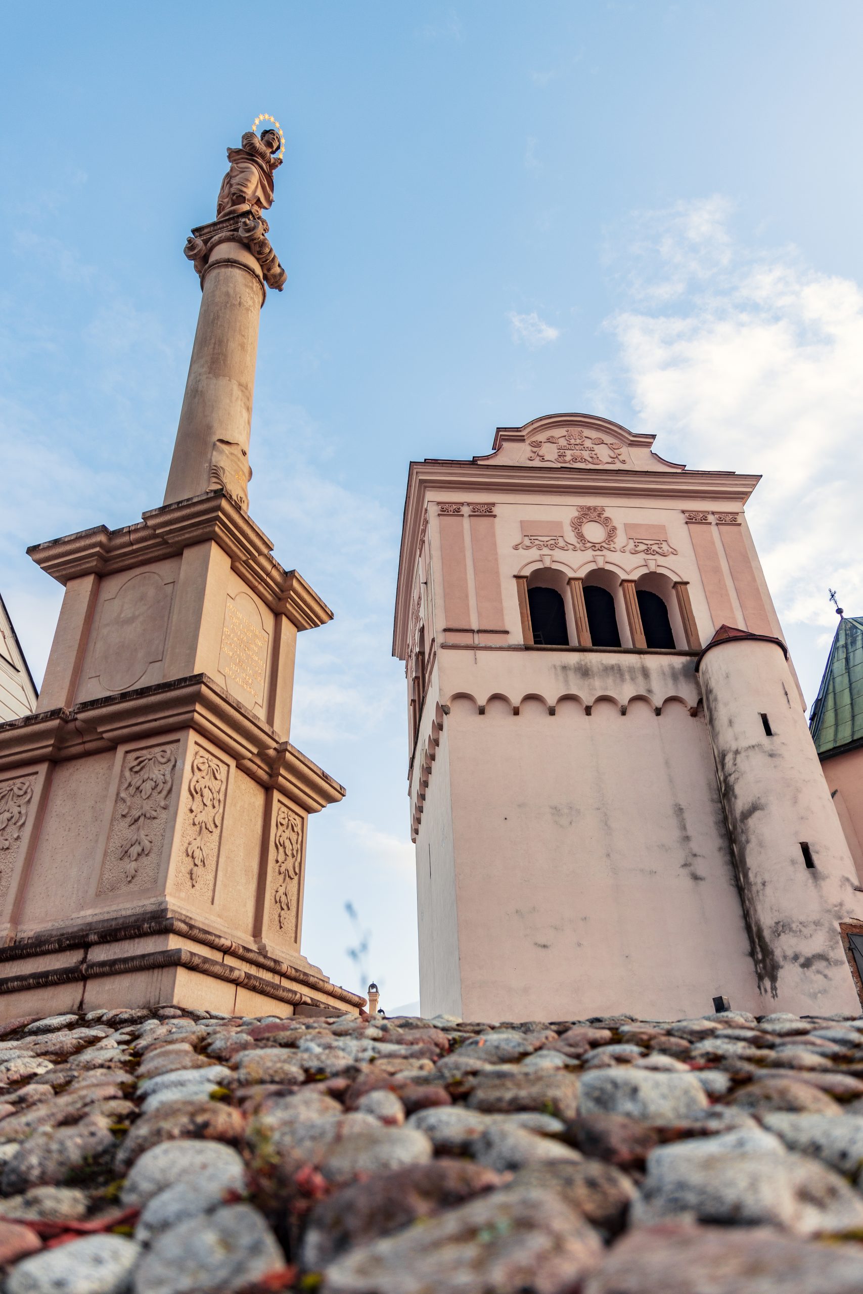
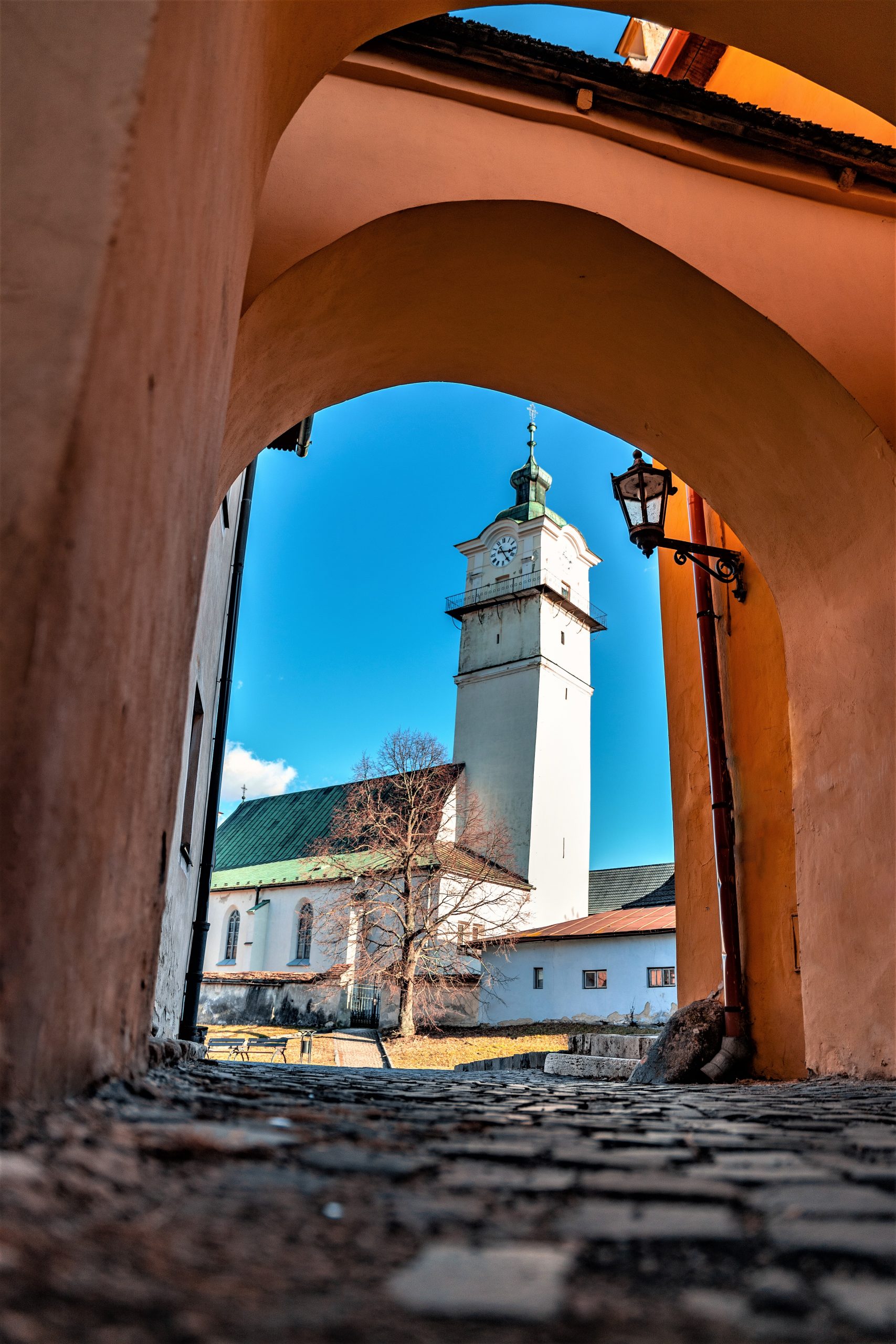
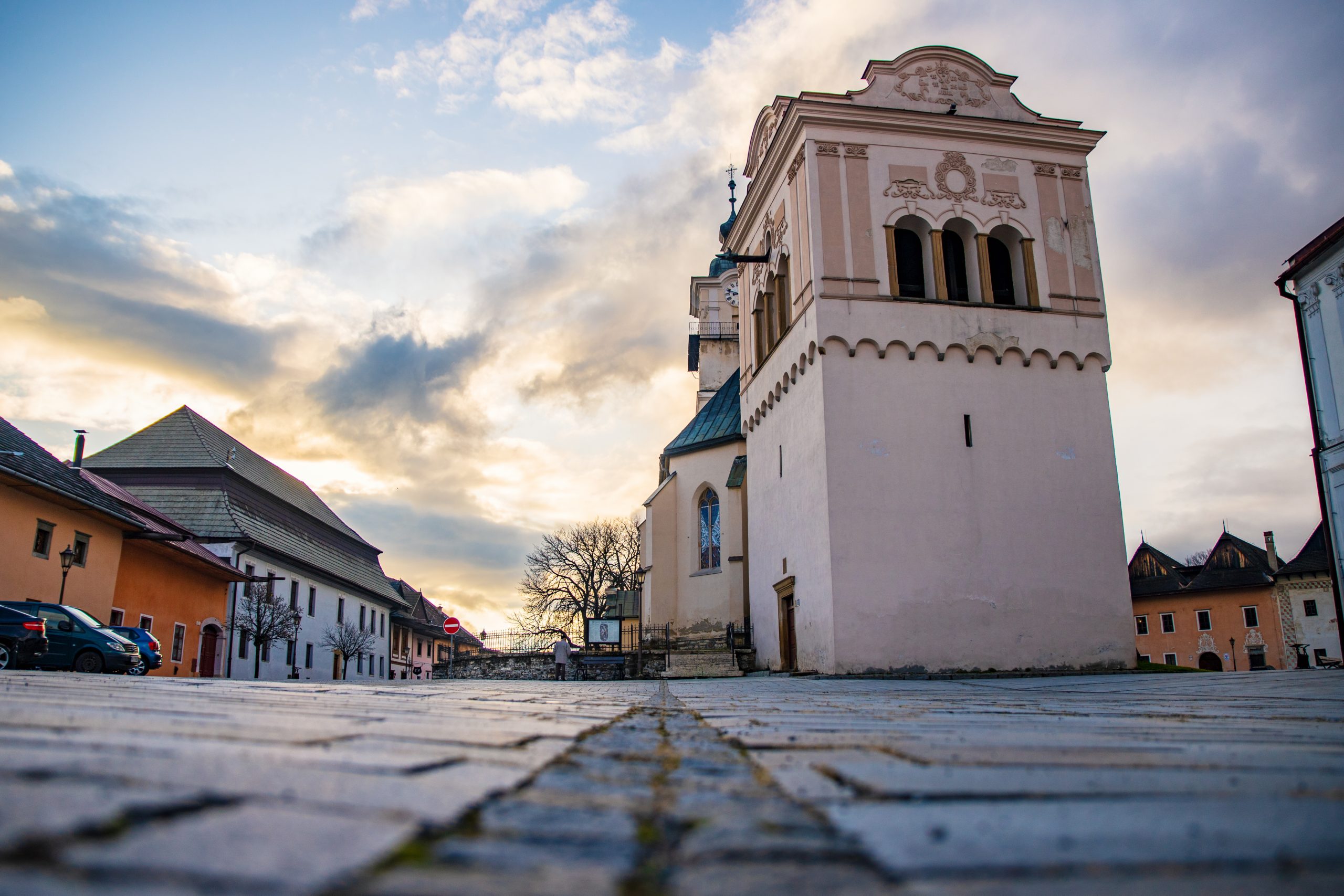
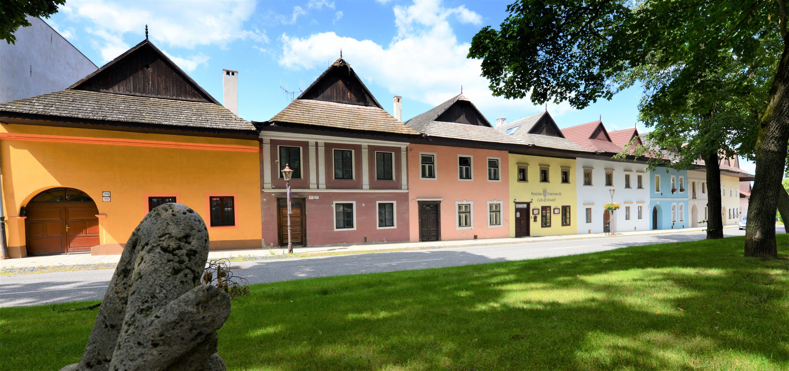
The first written notion of Poprad dates back to 1256. Its modern history dates back to the end of the 2nd World War, in 1946. The city is made up of 6 boroughs, previously tiny towns themselves: Poprad proper (1256), Spišská Sobota (1256), Veľká (1268), and Stráže pod Tatrami (1276). Among those little townships the most prominent was Spišská Sobota, which retained its leading position till as late as the end of the 19th century.
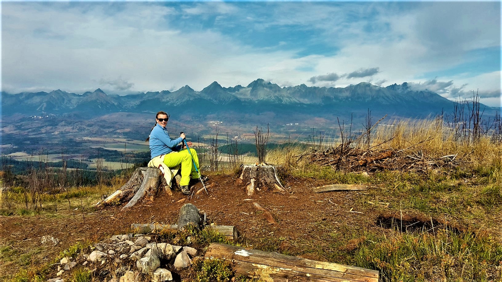
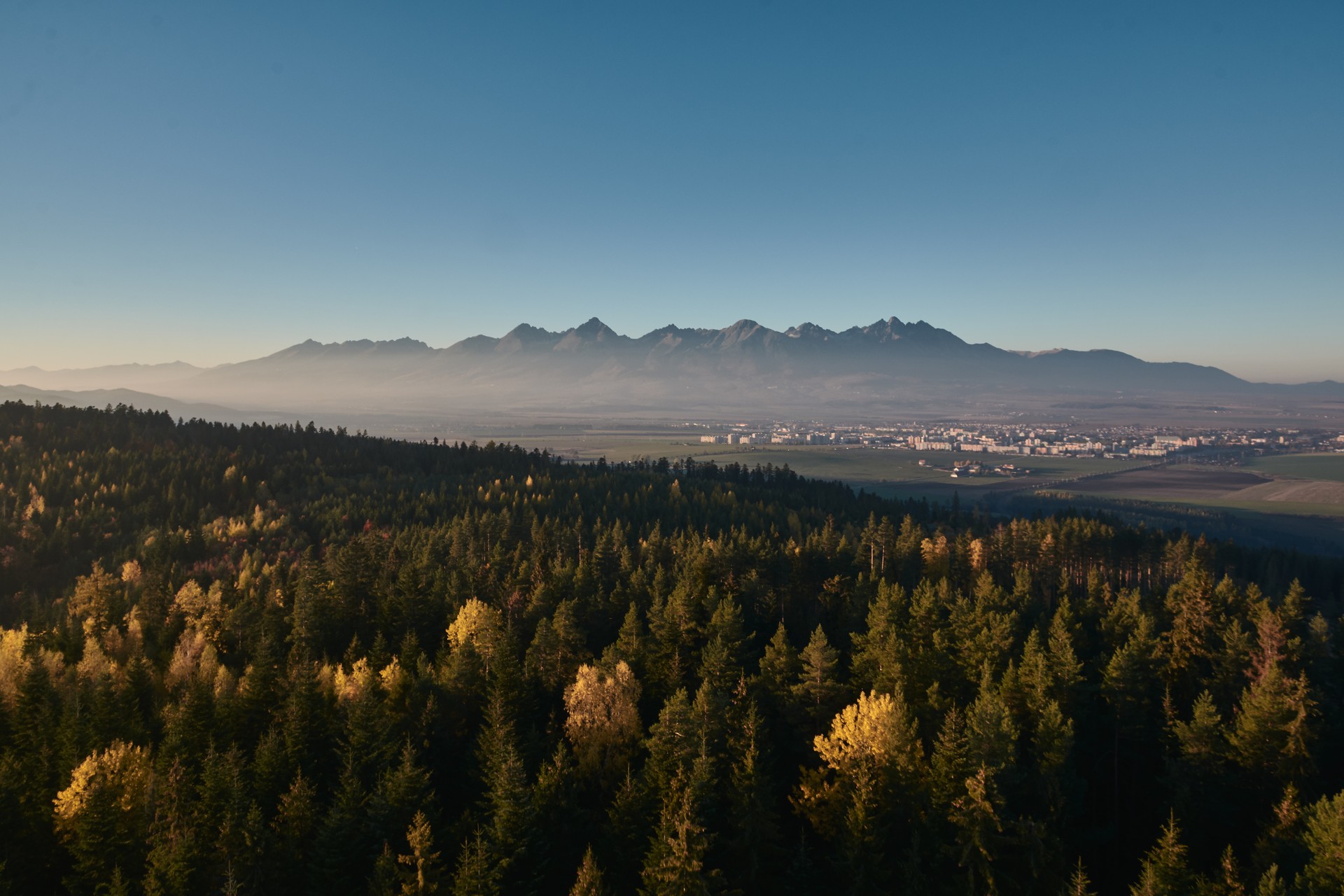
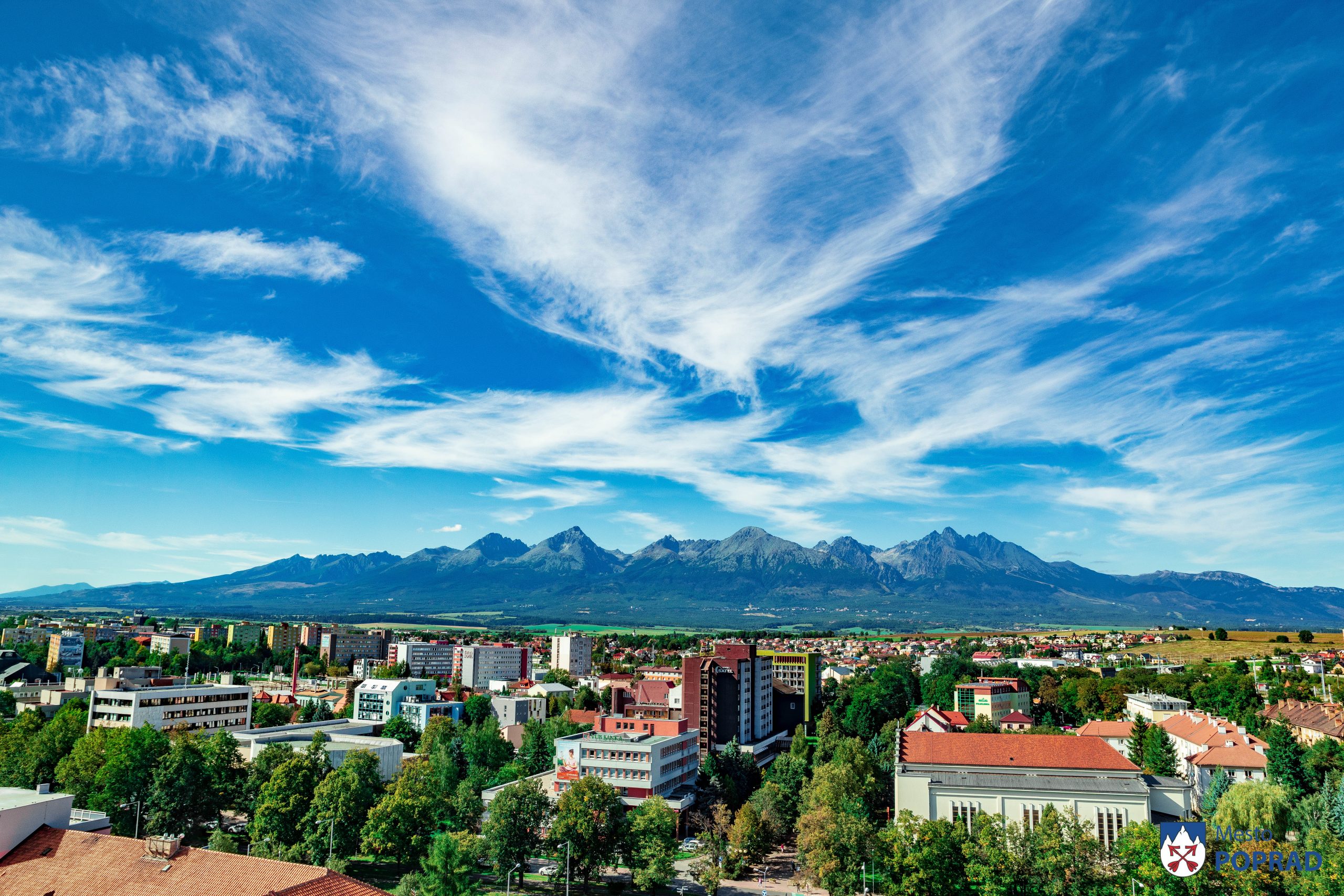
At present, Poprad is one of the most dynamically developing cities in Slovakia. It is located on the foot of the High Tatra mountains, therefore it is rightfully called the „Gateway to High Tatras“.
Poprad, the third largest town of East Slovakia, (the 10th largest town of Slovakia), is located on the 49° of the northern latitude and 20° of the eastern longitude. The town of Poprad spreads in an extensive, high-altitude lowland of the same name, on both banks of the Poprad River. Its cadastre is of an irregular, star-like shape, covering an area of 63.05 km2. The massifs of the High Tatras and Belianske Tatras are rising to the north of the town, the range of Levočské pohorie is located in the east, in the south there are the hills of Kozie chrbty
The High Tatras mountain range exceeds the Poprad Lowland by 2000 metres. Relative vicinity of their main ridge makes a scenic skyline of the town. The town is surrounded with agricultural lands turning into continuous forest complexes. There, in the picturesque rural areas of the High Tatras, the history of so called Greater Poprad commenced in 1946, which became known among the natives as well as internationally as the gate to the smallest European mountains of an alpine character.
Area: 63,05 km2
Population: 50 051 (02.01.2020)
Height above sea level: 672 m n. m.
GPS : 49.054780, 20.299691 (Information center Poprad – Nám. sv. Egídia 43/86)
For more information click on web side: www.poprad.sk


Importat contacts
| Útvar | Telefón | Adresa | |
|---|---|---|---|
| Polícia | 158 | ||
| | Mestská polícia | 159 | |
| | Hasiči | 150 | |
| | Záchranka | 155 | |
| | Spoločná tiesňová linka | 112 | |
| | Horská záchranná služba | 18 300 | |
| | Letecká záchranná služba | 18 155 | |
| | Lekárska pohotovosť | +421 52 712 56 14 | Banícka 803/28, 058 01, Poprad |
| | Stomatologická pohotovosť | +421 52 712 56 13 | Banícka 803/28, 058 01, Poprad |
| | Mestský úrad Poprad | +421 52 716 71 11 | Nábrežie Jána Pavla II. 2802/3, 058 42, Poprad |